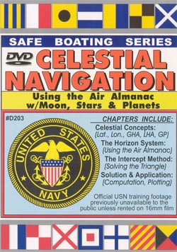
| Use the Horizon System
and Intercept Method to shoot the 57 Navigational Stars, Sun, 4 Planets and Moon.
Navigate day or night Item #203.........120 minutes |
 Use the Horizon System and Intercept Method to shoot the 57 Navigational Stars, Sun, 4 Planets and Moon. Navigate day or night. Use the Horizon System and Intercept Method to shoot the 57 Navigational Stars, Sun, 4 Planets and Moon. Navigate day or night.
In addition to this official USN footage (previously only available on 16mm film), the program contains a wonderful documentary prepared by the Dept. of Commerce and Geodetic Survey Division which traces man's progress in developing methods of accurate position determination. Running time: 2-hours. The information in this program assumes that you have some knowledge of how to use a sextant. If you would like a refresher course on Sextant Use, see our DVD #303 "Celestial Navigation, the Sun NoonShot". In that program, a former U.S. Naval Academy instructor fully covers how to adjust, use and read the sextant. |