I. INTRODUCTION
A. 3 Basic Rules of
Boating are water, people & navigation
B. Similarities between methods of navigation
C. Navigation with Electronics
D. History of Celestial Navigation (the
"military secret")
1. Nathaniel
Bowditch's methods
2. John Harrison's clock
E. Comparison of
Coastal Piloting to Celestial Navigation
II. COASTAL PILOTING
REVIEW
A. The Nautical Chart
B. Tools used in Chart Plotting
1. Parallel Rulers
2. Dividers
3. Pencils
4. Hand-Held Compass
5. Binoculars
6. Quartz watch (w/stopwatch function)
C. Landmark
Triangulation (the 2-bearing fix)
1. Reciprocal
Bearings (using the Compass Rose)
2. Line/s of Position (L.O.P.)
D. Magnetic Variation
and Deviation
E. Latitude and Longitude
F. Dead Reckoning
III. INTRODUCTION TO
CELESTIAL NAVIGATION
A. Similarity to
Coastal Piloting
B. Bringing the Stars down to earth (using a sextant)
1. Geographical
Position (GP, or "ground point")
2. the Nautical Almanac: what it is and how to
use it
C. Measuring Distances
1. the Nautical
Mile
2. Minutes of Arc
D. Determining Zenith
Distance
1. the Sextant:
what it really measures
2. Using the Horizon
IV. PRACTICAL
APPLICATIONS
A. The NOONSHOT
1. Local Noon (in
your time zone)
2. GMT Noon ("Zulu Noon")
3. Local Apparent Noon (LAN) ["High
Noon"]
4. the Noonshot Worksheet
B. Sextant Corrections
1. Index
(mechanical, sextant/mirror adjustment)
2. Limb (portion of celestial body being sighted)
3. Dip (height of eye above water during sight)
4. Refraction (bending light)
5. Parallax (differences of view)
C. Using the Moon,
Planets and 57 Navigational Stars
1. Magnitudes of
Stars (brightness)
2. H.O. Pub. 249 (the Air Almanac)
3. Plotting Sheets (making your own -vs- std.)
D. Surprise Ending
V. SUMMARY &
trailer: excerpts from some other Navigation DVDs
|
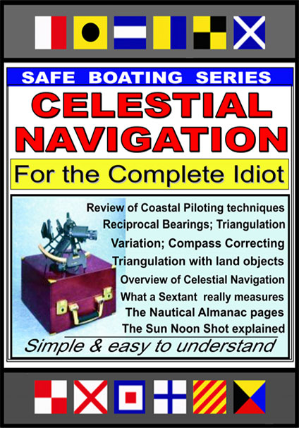 At Last... A plain-English explanation of Celestial Navigation that any idiot boater can understand - even if he or she is a doctor, lawyer, or other type of college/computer nerd who just doesn't like trying to get it out of a book.