©2019 Gene Grossman
Well, the same type of Triangulation can be done out in the open ocean when you're out of sight of land... but instead of using known visible landmarks, you can use the known "address" of the sun (or other celestial body) for that instant of time. That address we refer to is really what is known as the celestial body's "GP," or Geographical Position (or "Ground Point"). To find out where it is, you draw an imaginary line from the center of the earth all the way up to the celestial body. Where that line comes through the surface of the earth... that's the celestial body's GP... and it is an exact address. Of course it is constantly changing, but there are books available (the Nautical Almanac, for example) that list the GP of the Sun, Moon, 4 Planets and 57 Navigational Stars for each second of the year. [these are the bodies most commonly used for Celestial Navigation]. So, if you have an accurate timepiece, you can always locate the celestial body's GP. Once you know the GP of the celestial body you want to use as a reference point, your nest task is to find out exactly how far away you are from it - and what your bearing to it is.. then you will have the two elements necessary for any navigational fix: Distance and Direction. To determine your distance from the GP on the surface of the earth, we use an instrument called a Sextant. What the sextant does is measuring the angle from our vertical (mast, or imaginary line from the center of the earth, up through our boat) to the celestial body... but since it's almost impossible to measure that angle on a moving vessel under way, we get that angle instead by measuring the height of the celestial body up from the horizon and then merely subtracting that angle from 90 degrees, which will then give us the angle that the body is from our vertical. This is a neat little trick to find the angle that we're really looking for. Of course, there are several minor corrections to take into account once you've used the sextant to measure the above mentioned angle. For instance, there's the portion of the body you were measuring: if it's the Sun, were you using the upper or lower part of the Sun? Depending on which, you will make what is called a "Limb" correction and there is a table for that in the Nautical Almanac. There will also be corrections for "Dip" (your height above sea level when taking the sextant shot), "Index," "Parallax" others for time, etc. These are all explained nicely by Paul Miller in his complete one-hour lecture in our DVD #303: "Celestial Navigation, the Sun NoonShot." Once you know the angle of the celestial body from the vertical of your boat, then you also know the distance in nautcial miles that you are away from the celestial body's GP. The reason you now have that distance is because the surface of the earth is divided into the same number of degrees as any circle: 360. Each one of those degrees is then divided into 60 equal portions, each one called a nautical mile. So, if you know the angle between your boat's vertical and the celestial body's GP, then you also know that distance in nautical miles on the surface of the earth: it's simply 60 times your corrected angle measurement. Using the Nautical Almanace to determine the GP of the body - and then your sextant to determine your distance from the body, you can then plot a circle on a chart with the body in the center and your distance from it as the radius. This is appropriately called a "Circle of Position," and you boat will be somewhere on the circle. If you are using the Sun at your Local Apparent Noon, then there is a way to know your Latitude and Longitude with only one single sextant shot. If you are using other celestial bodies, or making successive shots of the same body over a period of a couple of hours, there are tables you can use to do what coastal piloting calls a "running fix." There is also a way to determine your direction to the celestial body's GP (the Azimuth), which will then give you the Range and Bearing. The bottom line is this: if you want to learn how to use a sextant to navigate around the world, we have three excellent videos for you to watch. |
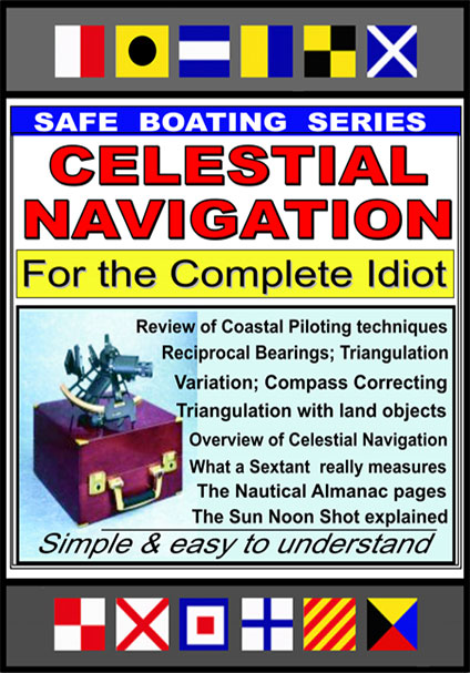 Our
DVD #359 "Celestial Navigation for the
Complet Idiot" (90
minutes) is a good starter. It explains all the necessary
principles and theory in a plain English
easy-to-understand fashion that will clear up and
de-mystify the entire subject of Celestial Navigation.
$39.95 Complete
Video Outline Our
DVD #359 "Celestial Navigation for the
Complet Idiot" (90
minutes) is a good starter. It explains all the necessary
principles and theory in a plain English
easy-to-understand fashion that will clear up and
de-mystify the entire subject of Celestial Navigation.
$39.95 Complete
Video Outline |
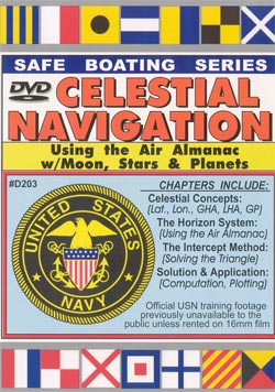
 Our DVD #303: "Celestial Navigation the
Sun NoonShot" (120
minutes) takes you to the next level by showing
how to use the Nautical Almanac to determine a body's GP,
all about Corrections, and a full lecture on how to use a
Sextant and take a Sun NoonShot, filling in the worksheet
one line at a time. $39.95 Complete Video Outline Our DVD #303: "Celestial Navigation the
Sun NoonShot" (120
minutes) takes you to the next level by showing
how to use the Nautical Almanac to determine a body's GP,
all about Corrections, and a full lecture on how to use a
Sextant and take a Sun NoonShot, filling in the worksheet
one line at a time. $39.95 Complete Video Outline |
 Program #203 "Basic Celestial Navigation
with the Air Almanac" (120 minutes) shows how to do celestial
navigation using the Moon, Stars and Planets, with
Government Publication 249, the Air Almanac. $39.95 Complete Video
Outline Program #203 "Basic Celestial Navigation
with the Air Almanac" (120 minutes) shows how to do celestial
navigation using the Moon, Stars and Planets, with
Government Publication 249, the Air Almanac. $39.95 Complete Video
Outline |
| So if you're the slightest bit interested in learning about Celestial Navigation, Magic Lamp has the video/s to help you do it. Remember, GPS and electronics are great as long as the system is up and running and your batteries hold out... but there is nothing like having a back-up that will never fail you... and that back-up is Celestial Navigation. |